Comoros reinforces geospatial capacity through advanced GIS training programme
Date: 2026-04-14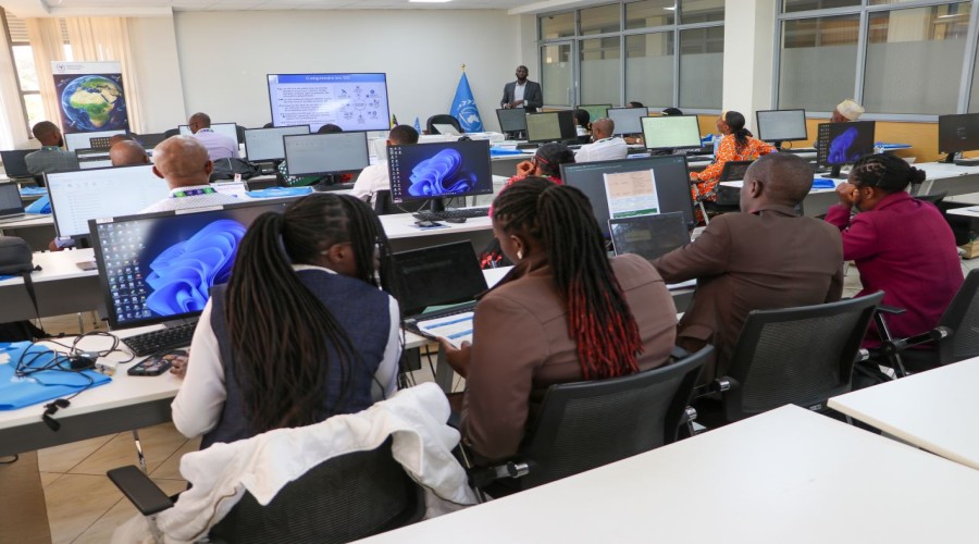
By: Kanto Kai Okanta
Comoros
is reinforcing its national geospatial capabilities through an Advanced GIS
Training Programme organized with support from the Regional Centre for Mapping
of Resources for Development (RCMRD).

The
15-day training, officially opened by the Minister of Territorial Development,
Urban Planning, Land Affairs and Land Transport, Chekidine Said Madi, brings
together staff from the country’s Cartography Unit to build expertise in
advanced geographic information systems (GIS), remote sensing, and drone
technology.
Speaking
at the opening ceremony, the Minister underscored the strategic importance of
geospatial technologies in national development, stating that GIS has evolved
beyond a technical tool to become a matter of national sovereignty.

The programme is expected to enhance the country’s capacity to collect, analyze, and utilize geospatial data for improved planning, resource management, and decision-making across key sectors.